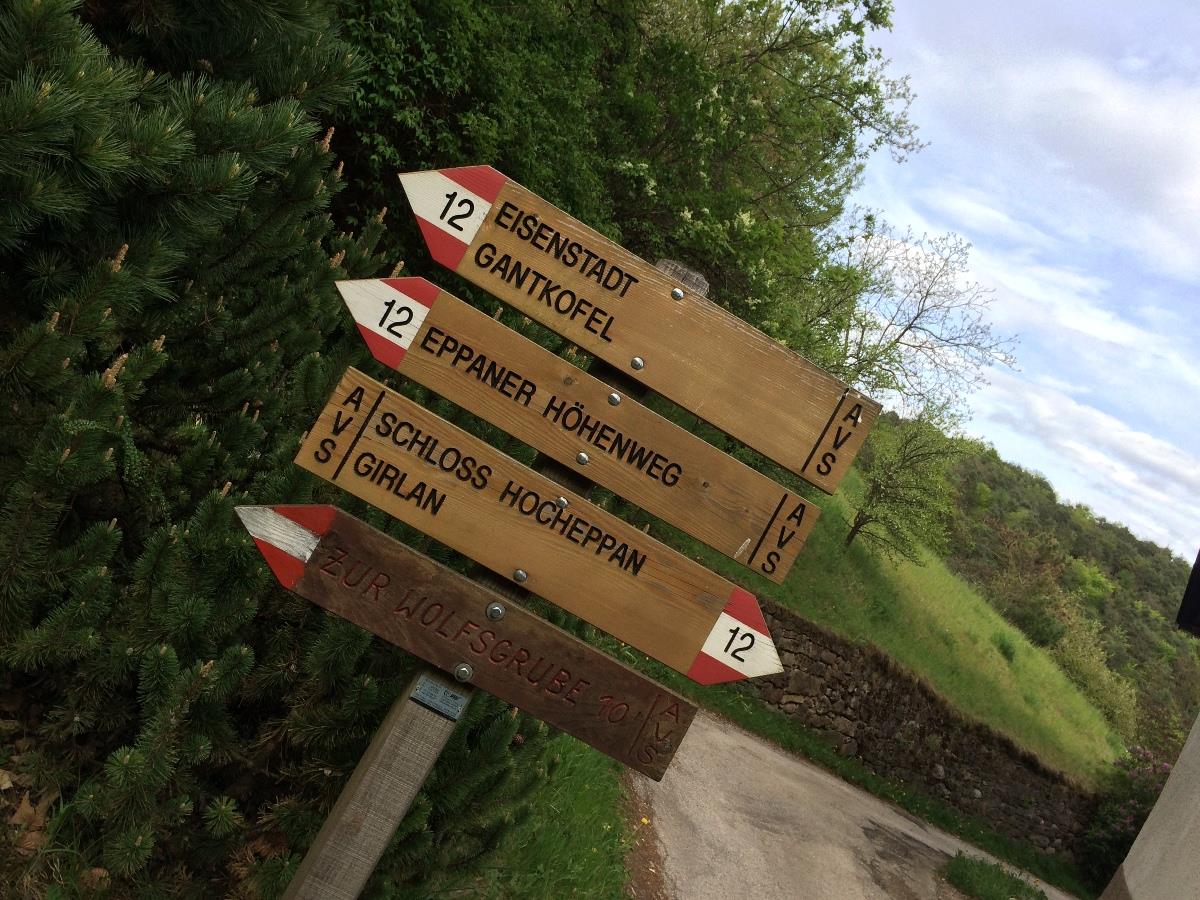
Signpost No. 7 points along a gently climbing forest trail through deciduous forest to Matschatsch. Shortly before reaching a large clearing with a lush meadow, the trail forks right along the steep track (No. 9), which brings you to the real start of the Eppan High Mountain Trail near Mendelstrasse to what is known as the ‘Michaelerkurve’. With the hard work of climbing now over, the trail rises and falls gently in a northerly direction along narrow paths, at times through brushwood, as far as Furglauer Gorge. After crossing it, the trail ascends steeply along a gravel track and past the drinking water tunnel (good place for a rest, plus drinking water). The road once again becomes a steep track, and, shortly before Buchwald, reachesia crossroads. If you turn right here it is possible to descend via an asphalt road and track. The route continues along trail No. 9, at first slightly uphill, then along a long, wide forest track that runs almost level in a northerly direction round the foot of the Gantkofel, until the forest track becomes a narrow path. Ignore the signpost pointing down trail No. 10/A, as a few hundred metres further on trail No.12 winds pleasantly to the hamlet of Perdonig | Eppan. The asphalt road from Perdonig | Eppan serves as your return route until signpost No. 8 directs you off to the right into the forest. After half an hour the track reaches the Kreuzstein. Now following trail No. 8/B around the edge of the forest, after 30 minutes you will reach your starting point in the car park at the inn Gasthof Steinegger.
Shorter version: After a steep ½ hour climb from inn Steinegger, follow trail no. 540 to Furglauer Gorge until reaching the crossroads with Eppan High Mountain Trail No. 9. Continue on the trail as described above to Buchwald, and from there on trail No. 10 to the forest track to Perdonig | Eppan, then continue as described above. Total time approx. 4 hours ascending and descending approx. 300 metres (984ft).

