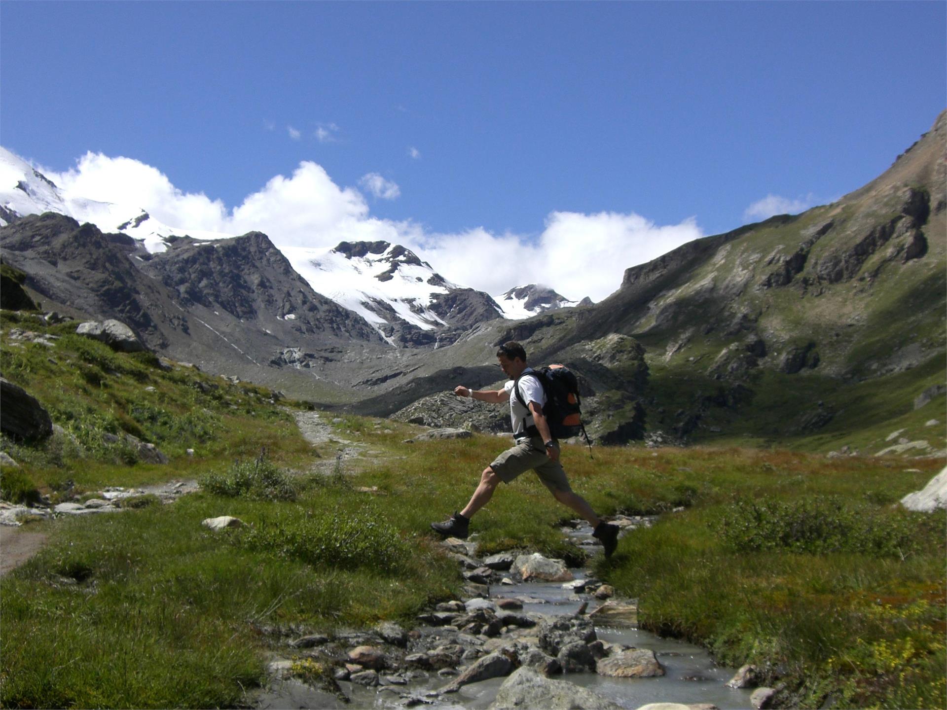
The day starts with a descent from Malga Zirmtal (2114 m). Follow the sign for Marzoner Alm/Malga Marzon. The steep path has been partially rebuilt and is in good condition. After a descent with an altitude difference of 300 meters you reach a forest road with signposts. Take the path down to Malga Marzon. Shortly descend on the forest road before you take the so-called Almenweg on the right (signs for Freiberger Mahd and Almenweg). The rather flat path takes you through the light forest until a signposted junction. Turn left (signs for Latschiniger Alm and Kofelraster Seen) and take the partially steep path through the larch forest to Latschiniger Alm/Malga di Lacinigo (1936 m) where the ascent to the Covolo Lakes (Kofelraster Seen) begins. Follow path no.3 with the red and white marking and many bends through the forest before you reach a clear area. Then the path soon becomes steeper. Hike through the mountain basin until the junction near the mountain crest. On the left, you can see the variant (see description below) leading up here from Malga Obermarzon. Continue upwards towards the Covolo Lakes (signs for Kofelraster Seen). As soon as you reach the first of the Covolo Lakes (2407 m), you have to be careful. There is only an old, weathered wooden sign with faded letters (Tarscher Alm/Malga di Tarres). Climb the steep path no.15 and shortly descend from the crest before the next climb. Then you reach the Gran Ladro wind gap (2612 m). Descend on the long, well-marked path to Malga di Tarres (1935 m).
The day starts with a descent from Malga Zirmtal (2114 m). Follow the sign for Marzoner Alm/Malga Marzon. The steep path has been partially rebuilt and is in good condition. After a descent with an altitude difference of 300 meters you reach a forest road with signposts. Take the path down to Malga Marzon. Shortly descend on the forest road before you take the so-called Almenweg on the right (signs for Freiberger Mahd and Almenweg). The rather flat path takes you through the light forest until a signposted junction. Turn left (signs for Latschiniger Alm and Kofelraster Seen) and take the partially steep path through the larch forest to Latschiniger Alm/Malga di Lacinigo (1936 m) where the ascent to the Covolo lakes (Kofelraster Seen) begins. Follow path no. 3 with the red and white marking and many bends through the forest before you reach a clear area. Then the path soon becomes steeper. Hike through the mountain basin until the junction near the mountain crest. On the left, you can see the variant (see description below) leading up here from Malga Obermarzon. Continue upwards towards the Covolo lakes (signs for Kofelraster Seen). As soon as you reach the first of the Covolo Lakes (2407 m), you have to be careful. There is only an old, weathered wooden sign with faded letters (Tarscher Alm/Malga di Tarres). Climb the steep path no. 15 and shortly descend from the crest before the next climb. Then you reach the Gran Ladro wind gap (2612 m). Descend on the long, well-marked path to Malga di Tarres (1935 m).
