EN
The path across the cols: The cultivating path
Valle di Casies, Puster Valley
Description
The history: The mountains of Defreggen Tal Valley form a big border between Val Casies Valley (I) and Villgratental Valley (A). It has always been crossed by the residents of the two valleys to trade. During the years from 1810–1814 and after the 2nd world war different g...

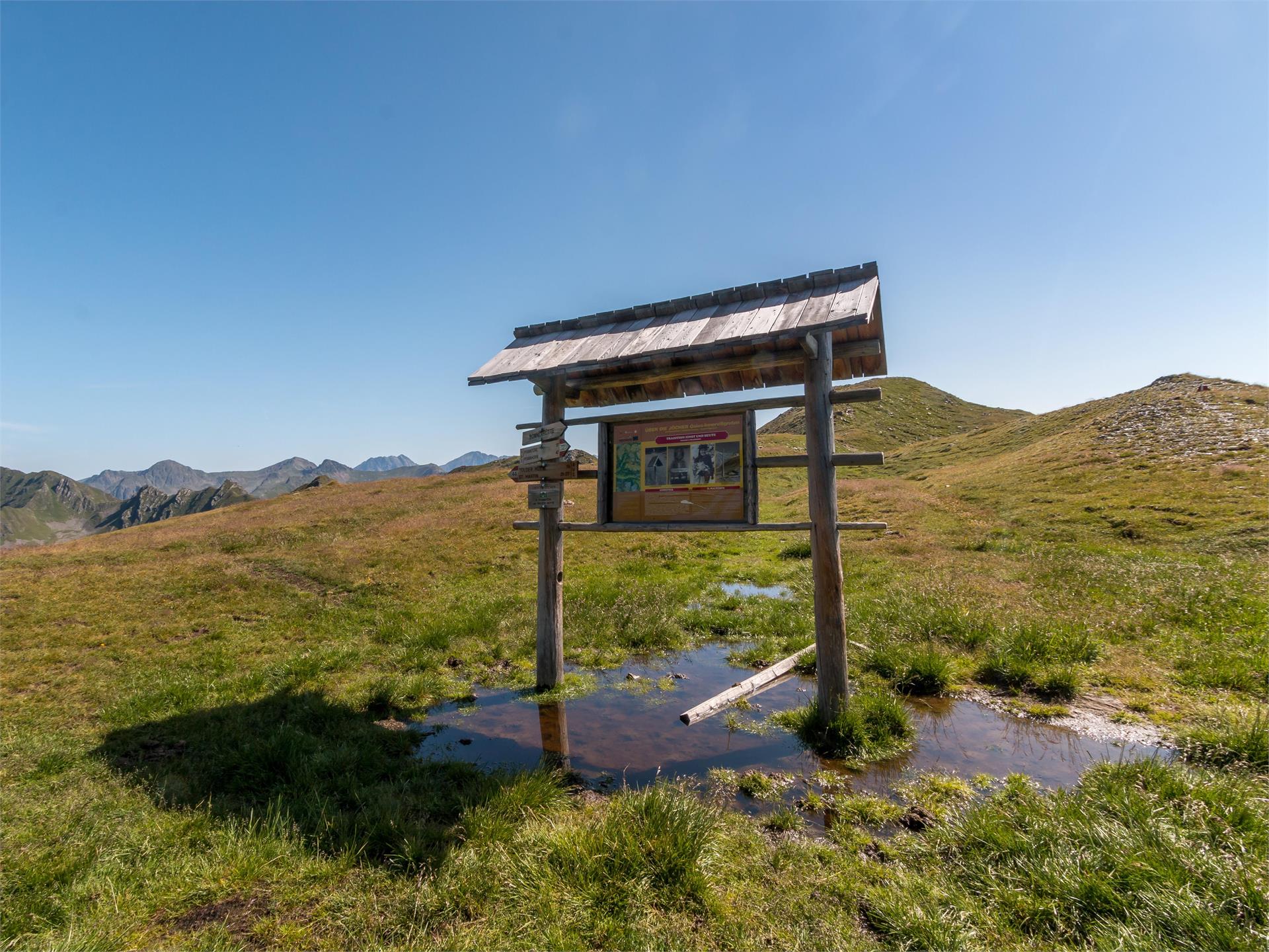
The history: The mountains of Defreggen Tal Valley form a big border between Val Casies Valley (I) and Villgratental Valley (A). It has always been crossed by the residents of the two valleys to trade. During the years from 1810–1814 and after the 2nd world war different goods have been smuggled across the border. Because of this the three “The path across the cols” developed. Some informative signs were arranged along the paths to tell about the history and life in earlier times.
Details

The cultivating path: Rural customs, alpine pastures, haymaking, cattle, dairymaids and shepherds are depicted here.

Description: From the head of the valley in the Val Casies Valley/S. Maddalena (1465m), turn right over the stream of the valley and follow the markings no. 12 up to the Pfoital Valley and the alpine tree line. Continue straight into the valley to the Pfoialm (2134m, not a refreshment point) and through the Almtal, on a comfortable road, uphill to the fork. There, turn right, and by following the markings no. 13 climb upwards into the rear Hintere Gsieser Lenke (2539m; beyond it, reach the lake Schwarzsee in just a few minutes via a trail (2455m). Continue steeply downhill, following marker no. 15, to Gartn (2240m). Here you can either turn left and follow trail no. 15a, which leads along a gentle, flower-covered path to the alpine path and down to the Unterstaller Alm. Alternatively, from Gartn you can choose the steeper trail with marker no. 15, which leads to a viewing pulpit with a beautiful waterfall and then on to the Unterstaller Alm (1673m) in the Villgratental Valley (A). It is also possible to walk it the opposite way!Duration: 6 hoursDifficulty: medium

Info: Once a week there is a hiking bus that takes hikers from Villgratental (A) back to the Val Casies Valley. Return trips from Villgratental (Kalkstein and Unterstalleralm) every Wednesday in July and August. Registration the day before is required, T. +39 0474 978436.

Approach

Coming from Innsbruck/Brennero (A): Drive on the Highway of Brennero (A22) until the exit Bressanone/Val Pusteria, then go on along the SS49-E66 for about 58kms until you arrive in Monguelfo. To get to Tesido and the Val Casies Valley, we recommend to take the exit West in Monguelfo. Coming from Lienz (A): You can reach us also padding by Lienz in Westtyrol (A). You have to cross the Austrian-Italian border between Ahrnbach and Winnebach (B100-E66) and drive on the SS46-E66 until Monguelfo. To get to Tesido and the Val Casies, we recommend to take the exit West in Monguelfo.