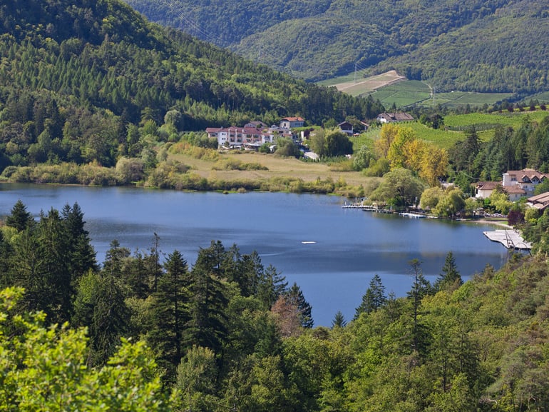
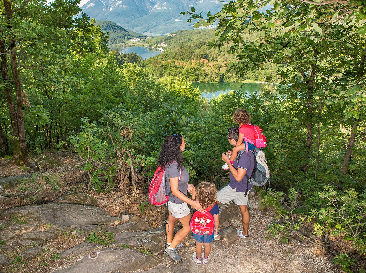
From the town hall square and Tourist Information Office, AVS signpost No. 3 points along an old plague path, also known as Patersteig, from the village centre through the forest to the famous and hugely popular Montiggl lakes, which nestle in the lovely forest landscape. First, follow Bahnhofstraße eastwards to a large roundabout, then turn right into Montigglerstraße and after about 500 metres (1640 ft) turn off to the right on a lefthand bend onto hiking trail No. 3. Leaving the last houses and vineyards behind you, follow the trail through deciduous forest and sturdy pine trees in a southerly direction. It is important to pay attention to the signposts, because there are many steep tracks and trails branching off the path. After about an hour from Montigglerstraße, the forest trail joins a newly built cycle path, which you should follow until you see the first Montiggl orchards. A little further south you can see the church tower of the hamlet of Montiggl | Eppan, a quiet, homey village, surrounded by vineyards and orchards. Close by are the Montiggl lakes, where there is quite a lot going on, especially in summer. After a quarter of an hour from Montiggl Church, trail No. 5, which then leads into footpath No. 20, passes a hotel and a reed belt on its way directly to the large lake. Another hiking trail borders the lake from the western side up to its northern end. Hiking trail No. 16 soon brings you to the small Montiggl lake, which may be small in size but boasts plenty of pristine nature. As with the large Montiggl lake, it is also possible to stop for a while, enjoy the surroundings or get a bite to eat before beginning the much shorter return journey. Following the wide forest track No. 1, direction Rungg, we now pass over a hilltop and then head steeply downhill for a short while following trail No. 2 as far as the car parks at the Rungg sports zone. After crossing the access road to the sports fields, the trail continues in the same direction through the forest for a short while, before the Überetsch valley with its castles and fortresses opens out in the foothills of the Mendel mountain range. The tarred road that follows on from here runs towards Girlan | Eppan. After about 500 metres (1640 ft) trail No. 6 branches off through beautiful vineyards straight back to the large roundabout. Bahnhofstraße leads back to the centre.
From St. Michael to the Montiggl lakes
Appiano sulla Strada del Vino, South Tyrol's South
Description
Details

