EN
Terlan – Bergjosl Tavern – Legar – Terlan
Terlano, Bolzano & Environs
Description
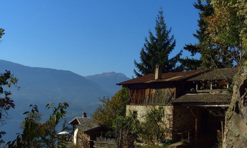
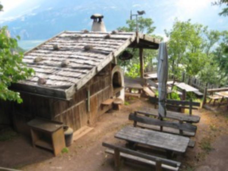
The tavern Bergjosl is located 600 meters above Terlan, but already belongs to the municipality of Mölten. The turnoff to the mountain restaurant is located halfway between Terlan and Mölten. The Mair family, owners of this Buschenschank, is supervising as well the only forest ce...
The tavern Bergjosl is located 600 meters above Terlan, but already belongs to the municipality of Mölten. The turnoff to the mountain restaurant is located halfway between Terlan and Mölten. The Mair family, owners of this Buschenschank, is supervising as well the only forest cemetery for animals in South Tyrol.

For used hikers this tour can start at the center of Terlan by walking along the Kirchgasse until reaching its end. Here you can find the last farm „Klaus in der Mühle” with its old mill. On the right starts the path to the weather cross (no. 3 A). You will reach the street to Mölten in front of the subway; take the way on the left and turn emediately right, in order to not pass the subway. From here take the left path after the second bend.

An other version of this way would be along the Weiler „Montigl” – „Grunerhof” and then through the scottish pine wood along rock faces to a panoramic view point. From here you can already see the “Buschenschank Bergjosl” and you reach it on a firstly slight descending path then go right.
Details

If you would like to shorten the tour, then you can take your car into the direction of Mölten. You can leave your car after the tunnel, at the “Montigl“ exit (there are always some parking possibilities further up). After the exit, walk about 200 metres along the road. Then leave the road and use the foot path leading you up the mountain. After a short time, you will come to a Y junction. Here, you can either turn left and ascent directly, or you turn to the right and take the somewhat longer route to the “Gruner Felswänden“ (Grun rock walls). Your destination is on the left.You can descent on the foot path on the other side leading you to the “Oberlegar“. From here, see tour number 4. Before you will reach the tunnel at the Mölten Road, take the slightly ascenting path to your left, which will bring you back to your starting point. More experienced walkers can start from the village centre, taking the “Kirchgasse“. Walk right to the end of this street. After you have passed the last farm house “Klaus in der Mühle“, turn right and walk up to the Wetterkreuz. When you reach the Mölten Road, just before the tunnel, turn left and shortly after turn right. After the second hairpin turn, turn back to the road on your left. Ascent on the opposite side, just as described previously. Another variation route is via the hamlet of “Montigl“ – the “Grunerhof“ and then on almost even ground through the pine tree woodlands onto the rock walls (lookout point). From here, you will see your destination above the valley. You will reach it first of all on a slightly descending path. Take the first turn to the right, walking upwards.

Approach

BY CAR: From the direction of Innsbruck or Verona: Exit the Brenner motorway (A22) at Bolzano South, take the MEBO dual carriageway in the direction of Merano/Meran and exit either at Terlano By rail: Change at Bolzano for the Merano/Meran line and alight at Terlano.