
The Meran High Mountain Road is one of the most beautiful high-Alpine circular hiking routes in Europe. At a length of 100 kilometres, it surrounds South Tyrol’s largest nature park, the Texel Group Nature Park, at an altitude of approximately 1,400 metres. There are constantly a...
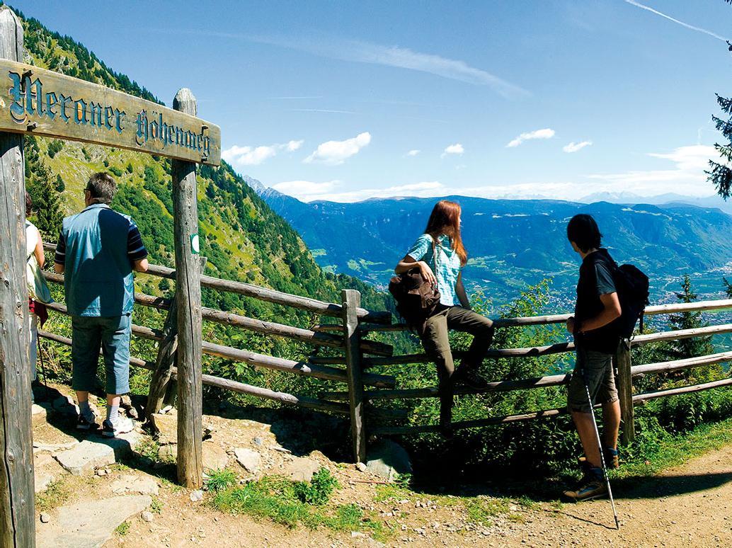
The Meran High Mountain Road is one of the most beautiful high-Alpine circular hiking routes in Europe. At a length of 100 kilometres, it surrounds South Tyrol’s largest nature park, the Texel Group Nature Park, at an altitude of approximately 1,400 metres. There are constantly altitude differences to be overcome from 100 metres. The Texel Group is situated between the Italian-Austrian border, the Meran basin, the Passeier Valley and the Schnals Valley.