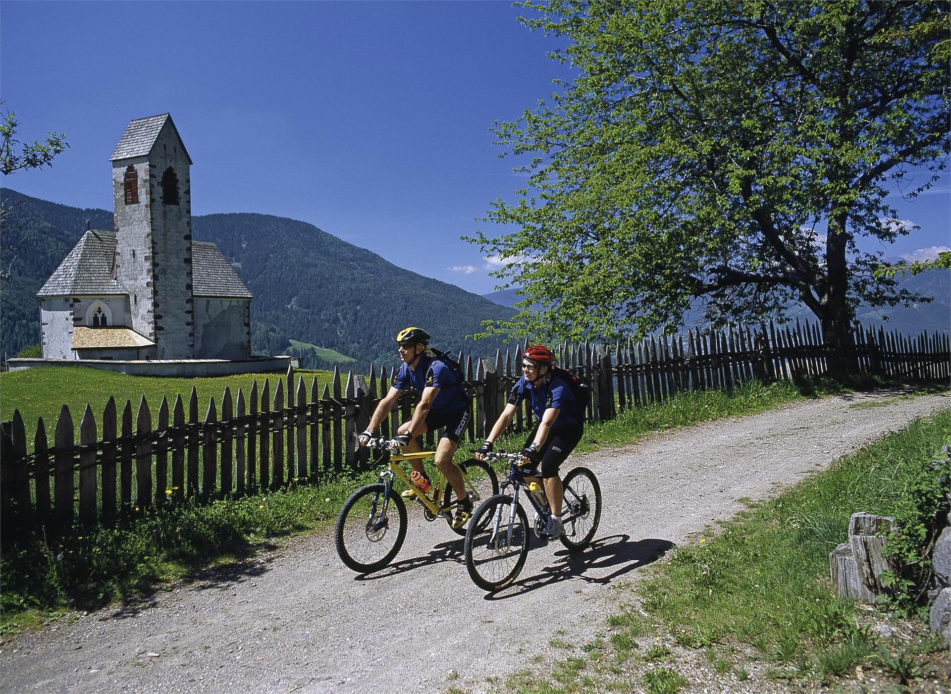
This tour leads you along the slopes of the foresty mountain, which parts the Afer and the Villnöss Valleys. After you reach the beautifully situated “Jochhöfe”. Starting point: St. Peter Kilometres: 26,5 km Altitude: 836 metres above sea level Altitude at start: 1145 m Alt...
This tour leads you along the slopes of the foresty mountain, which parts the Afer and the Villnöss Valleys. After you reach the beautifully situated “Jochhöfe”. Starting point: St. Peter Kilometres: 26,5 km Altitude: 836 metres above sea level Altitude at start: 1145 m Altitude at finish: 1145 m Best season: Route can be used from May to October. Highest point: Russis bridge: 1,735 metres Description of route: This tour leads you along the slopes of the foresty mountain, which parts the Afer and the Villnöss Valleys. After you reach the beautifully situated “Jochhöfe” (farm houses), you make your way across the saddleback on the northern side. You will be rewarded with a panoramic view of the Brixen valley basin and in the background, the Ziller Valley glaciers. After about 3 km on the forest road, you’re on your way to the southern side of the mountain, passing the Tschaufiss farm houses and Coll, where you once more change over to the northern side of the mountain. After 4 ascents and descents, you come to the Brixen Dolomite Road, then onto the Würzjoch Road, which will lead you to Villnöss.

